Twenty Years
Discovery.
Conservation.
Action.
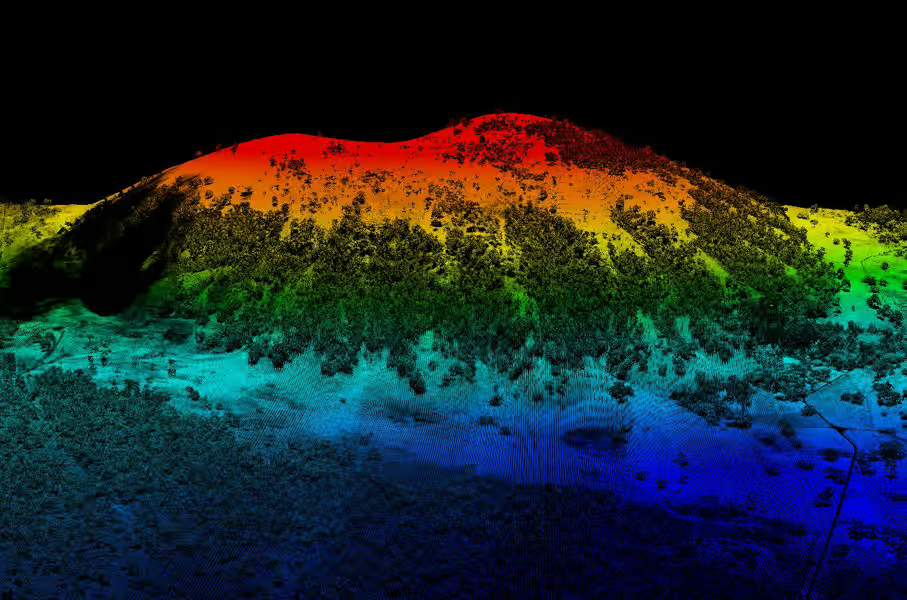
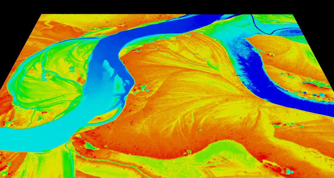
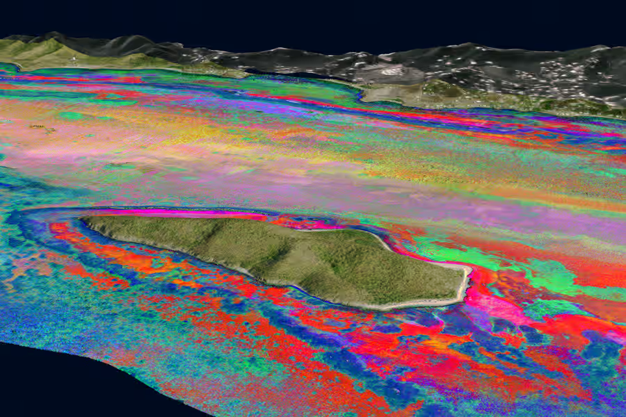
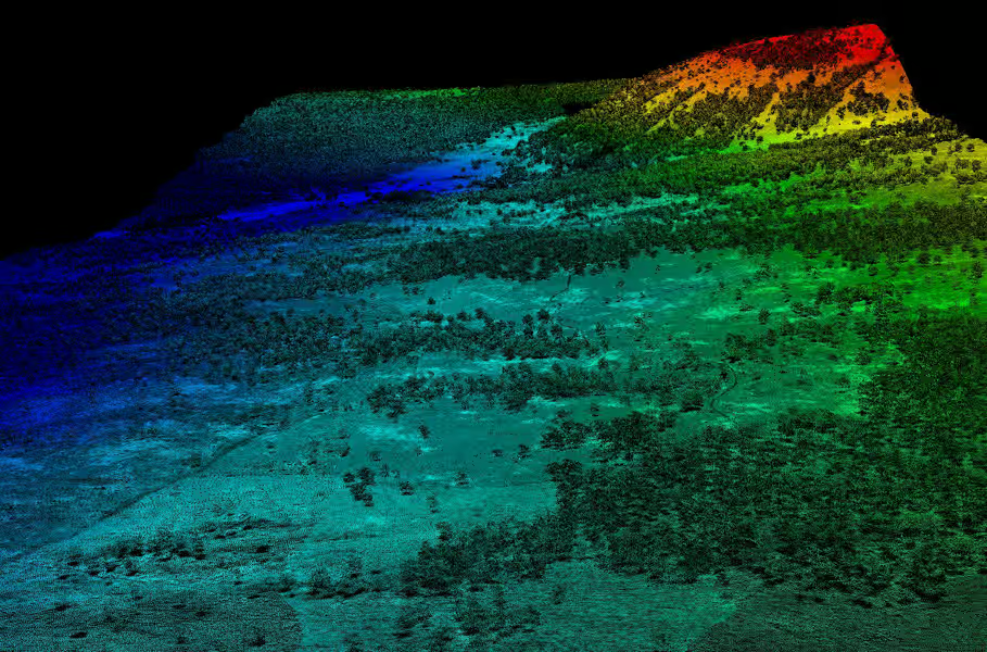
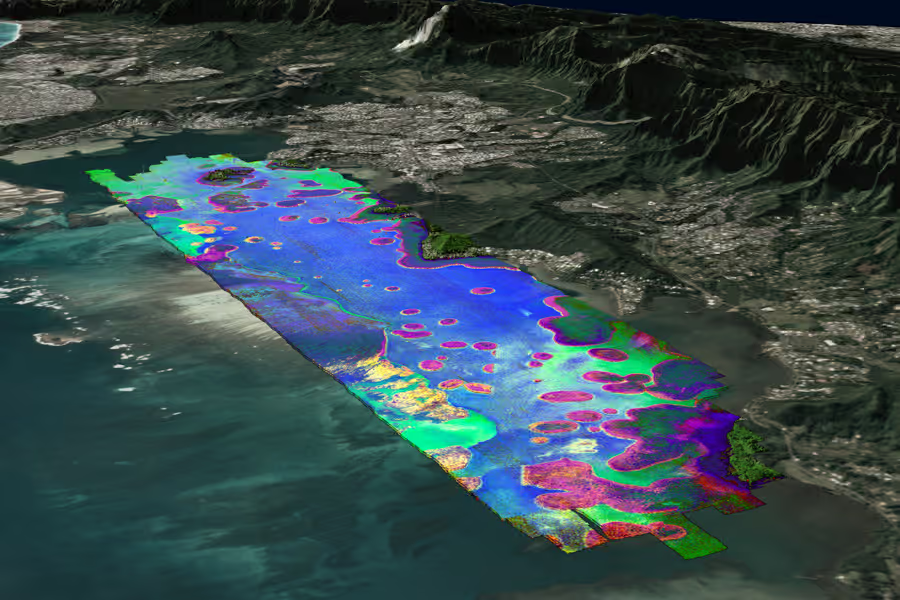
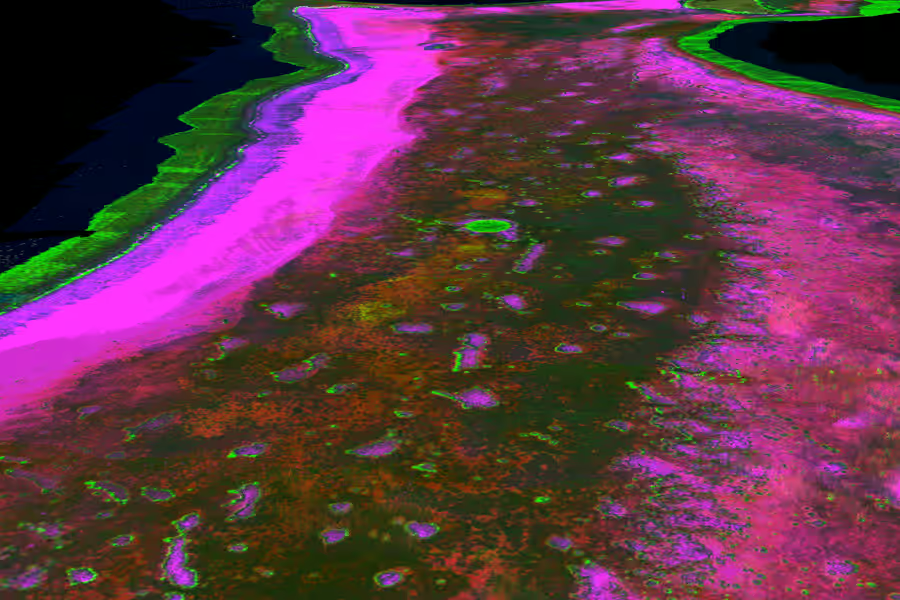
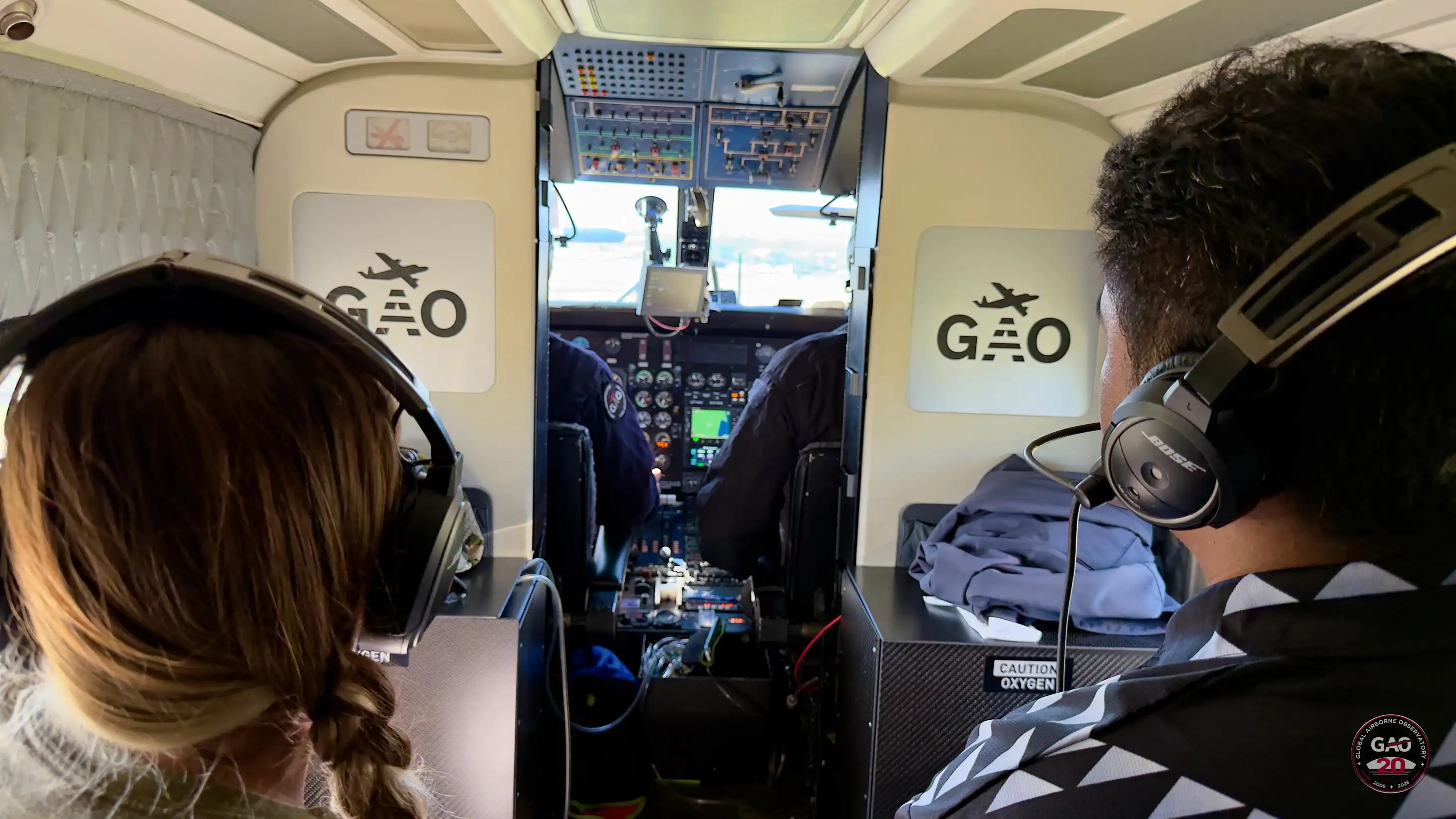
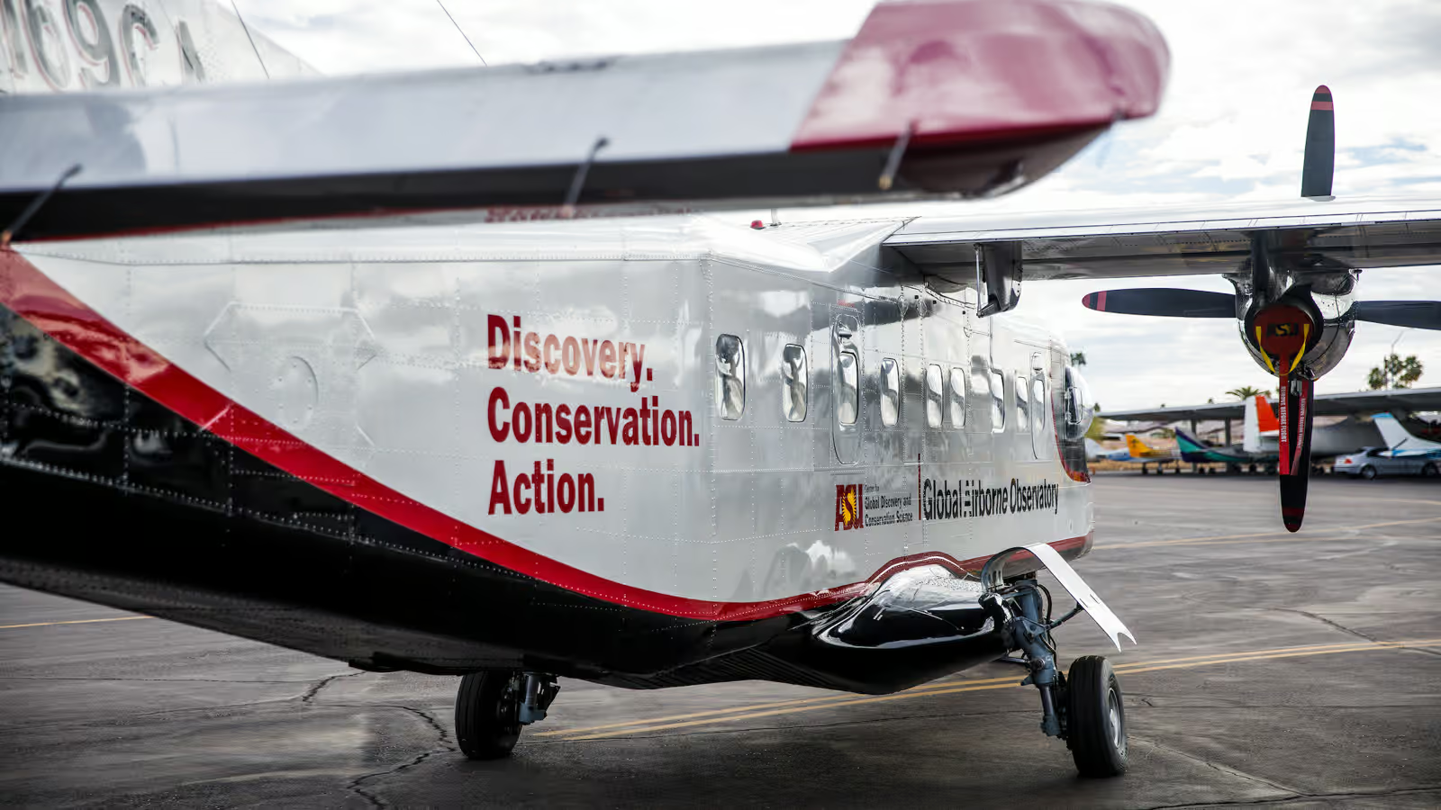
For twenty years, the Global Airborne Observatory has pioneered airborne imaging technology that reveals what no satellite can see—the chemistry of life in 3-D. From coral reefs to rainforest canopies, our maps drive conservation decisions at the speed ecosystems require.
See the Historical Timeline→

20
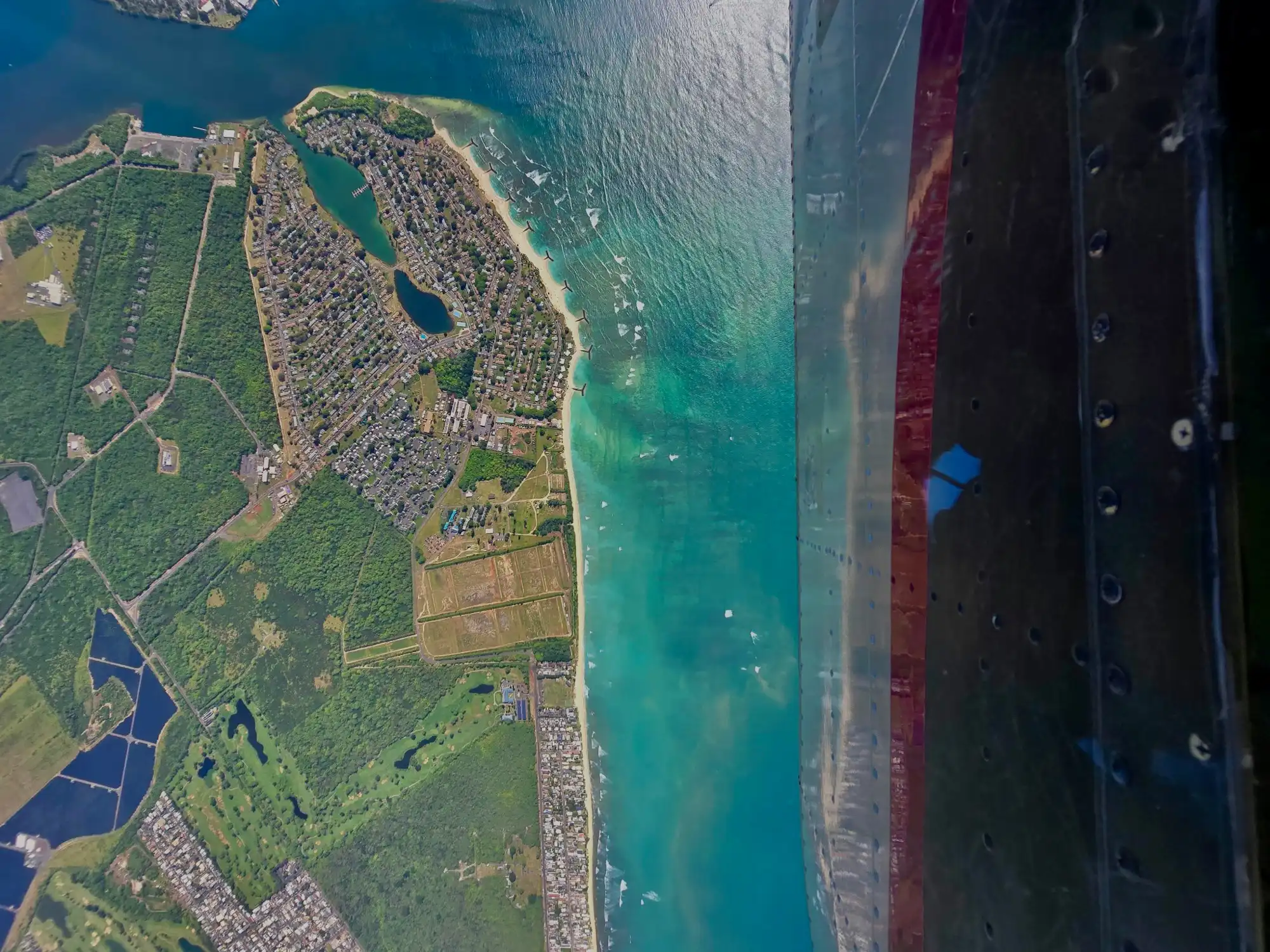
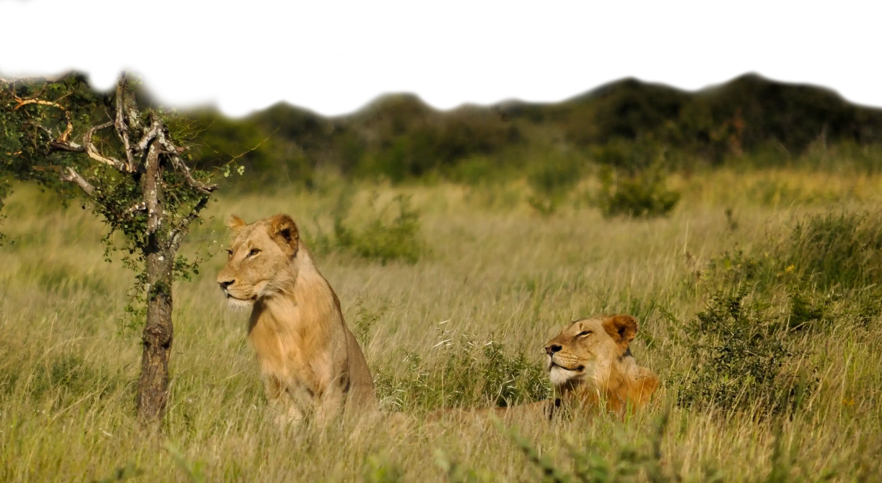
Pacific Mission
Updates From the Field
Follow the Pacific campaign as it unfolds — aerial mapping, dive surveys, and ground operations across the Western Pacific.
PHASE 2
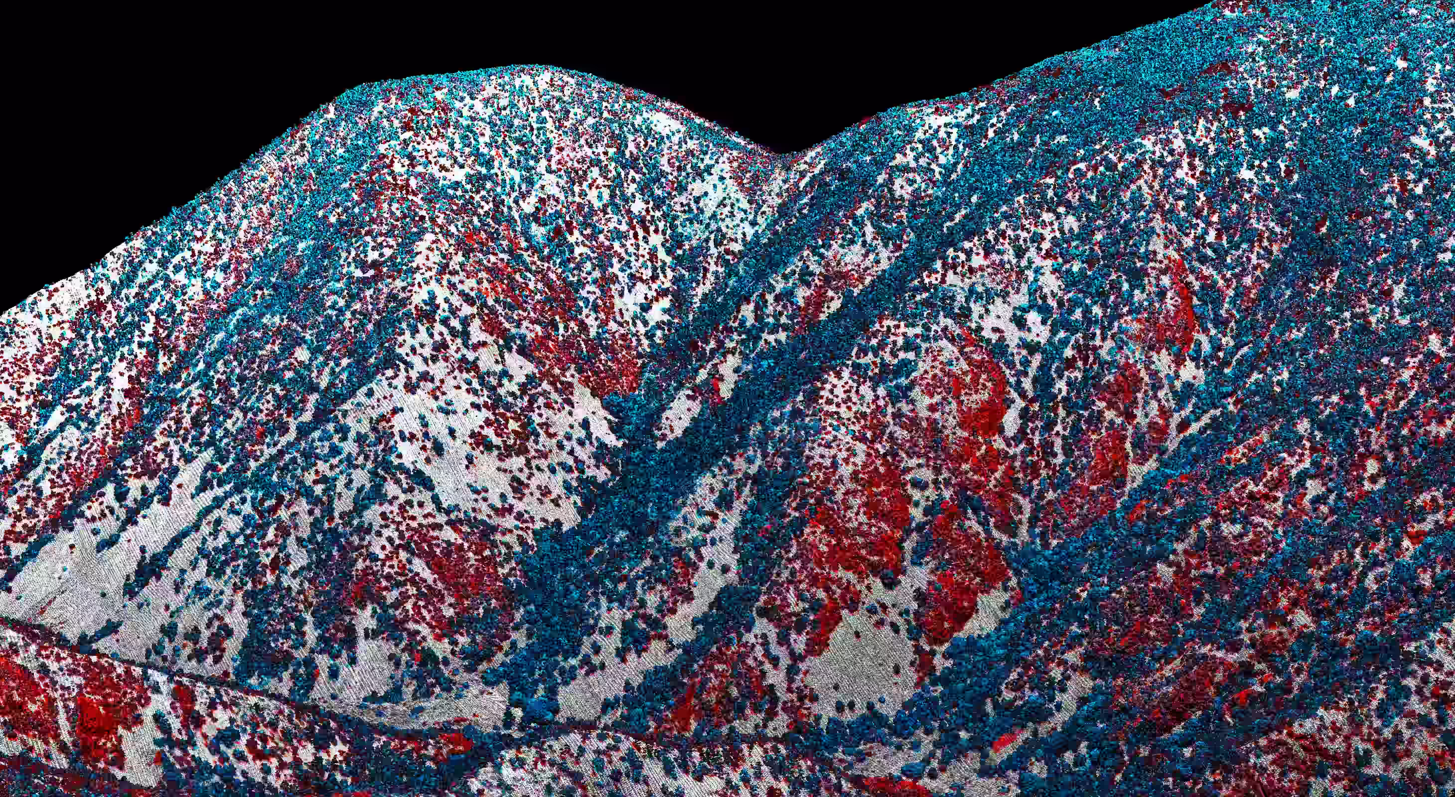
Guam & CNMI Mapping Complete
After months based out of Guam, GAO has completed aerial mapping across the full CNMI island chain — and the team is heading underwater next.
View Mission Update→
PHASE 1
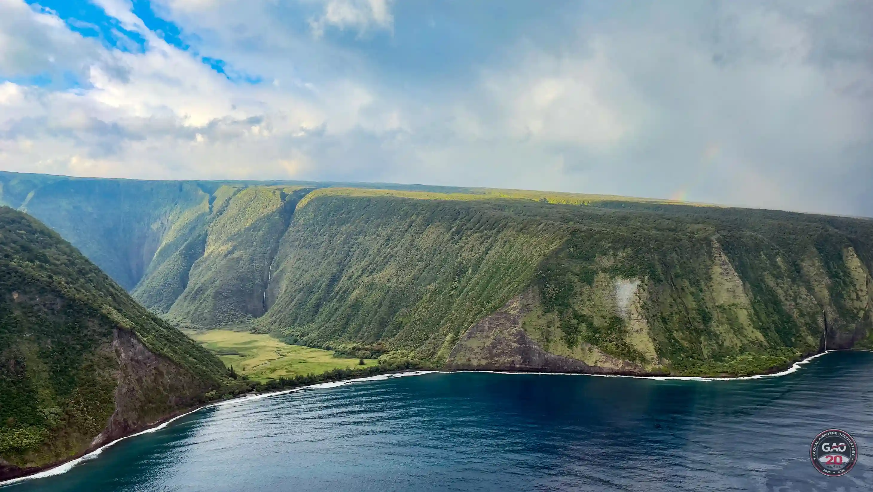
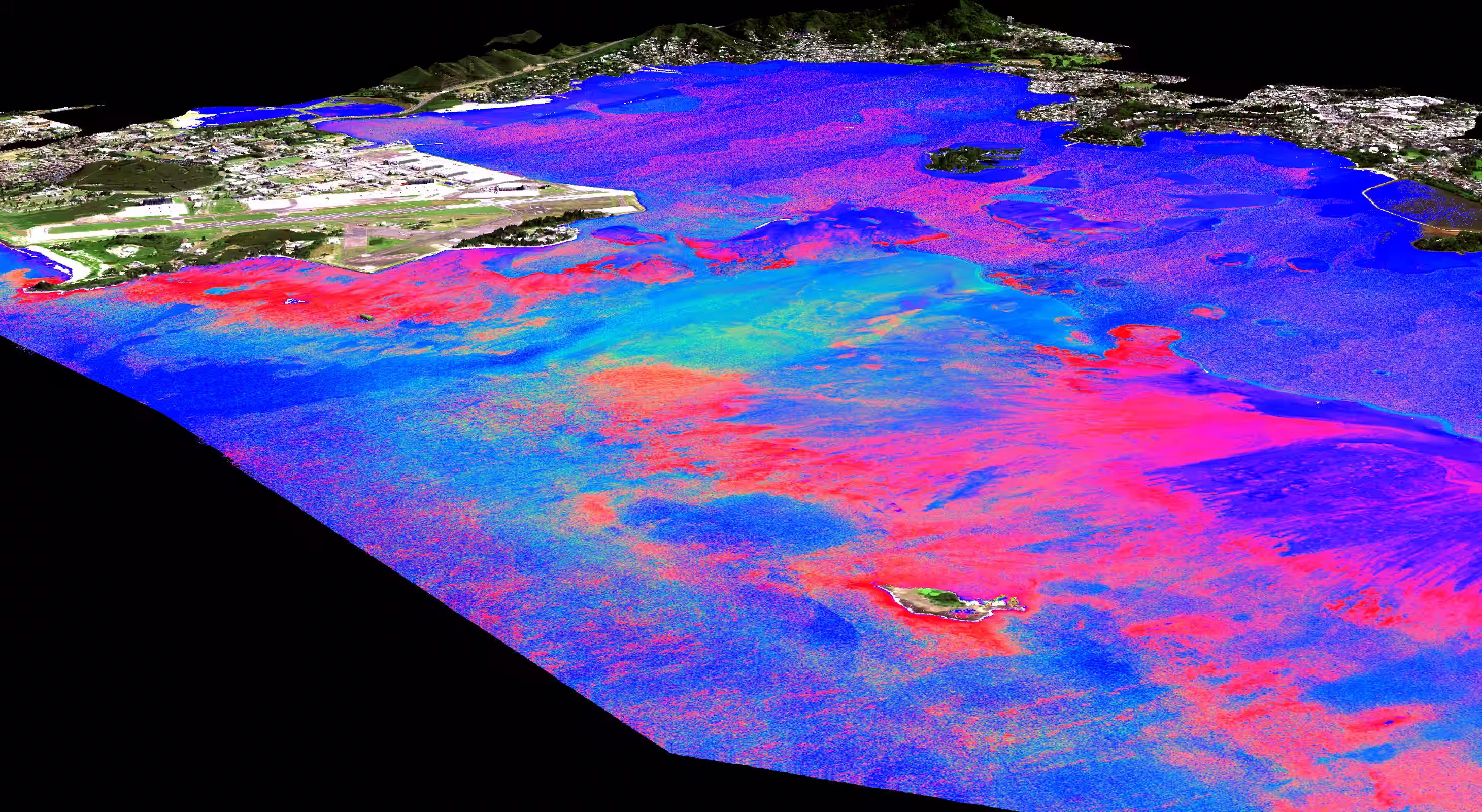
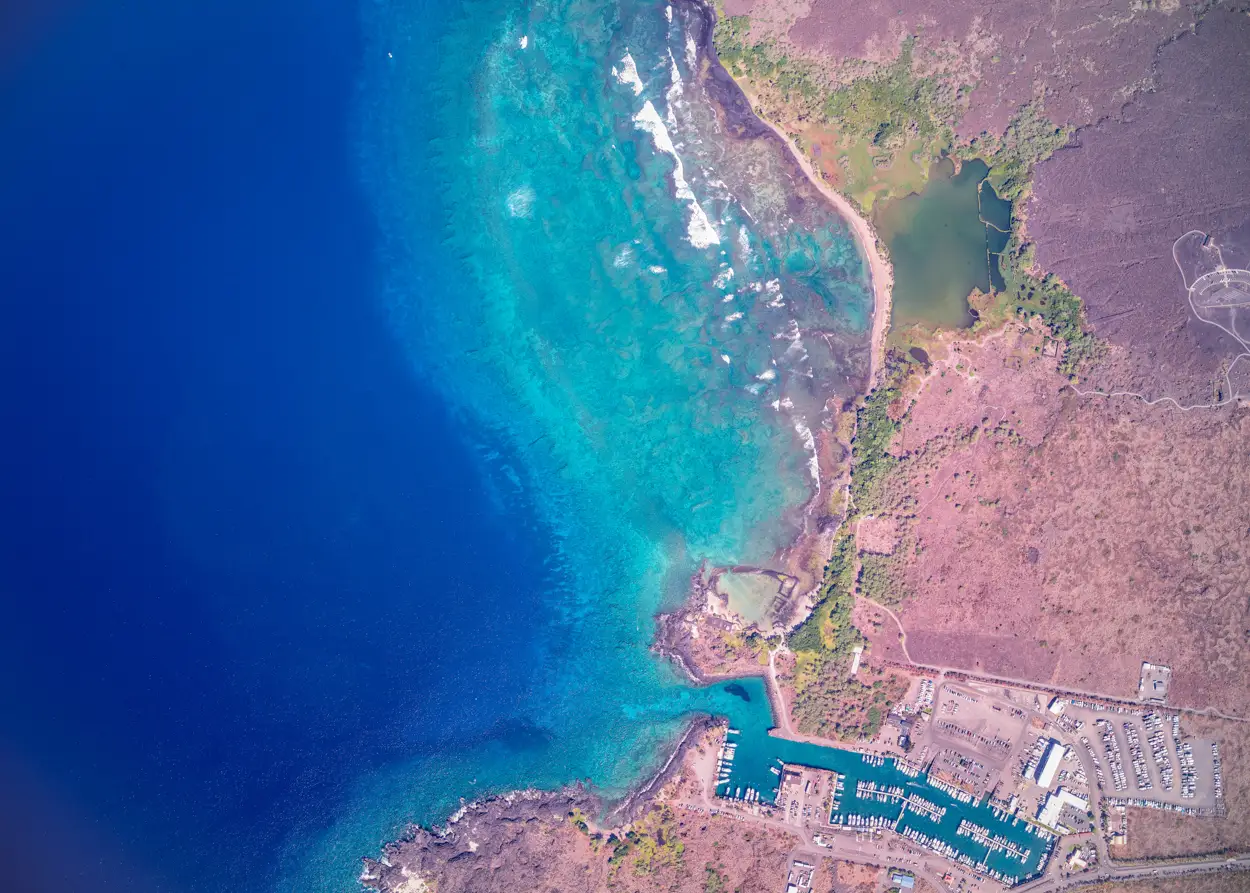
DLNR Kona Low Storm Response
Following severe storm systems earlier this year, GAO rapidly deployed across Oʻahu, Maui, and Kauaʻi to map reef impact for Hawaiʻi's Department of Land and Natural Resources.
View Mission Update→
PHASE 1
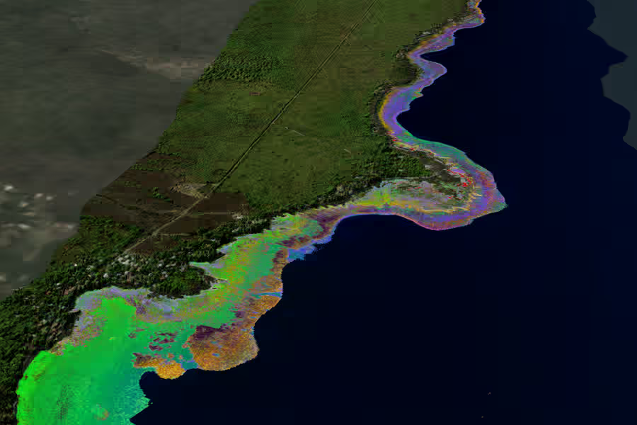
The ʻĀkoʻakoʻa Coastline Survey
A 120-mile contiguous reef survey along West Hawaiʻi — from ʻUpolu Point to South Point — mapping one of the longest unbroken coral corridors in the state.
View Mission Update→
PHASE 1
Securing the Hawaiian Launchpad
The Pacific campaign launches from Hawaiʻi — coral surveys, water quality runs, and a first-ever satellite ground-truth with Planet Labs.
View Mission Update→
Breakthroughs
The Discoveries That Changed Conservation
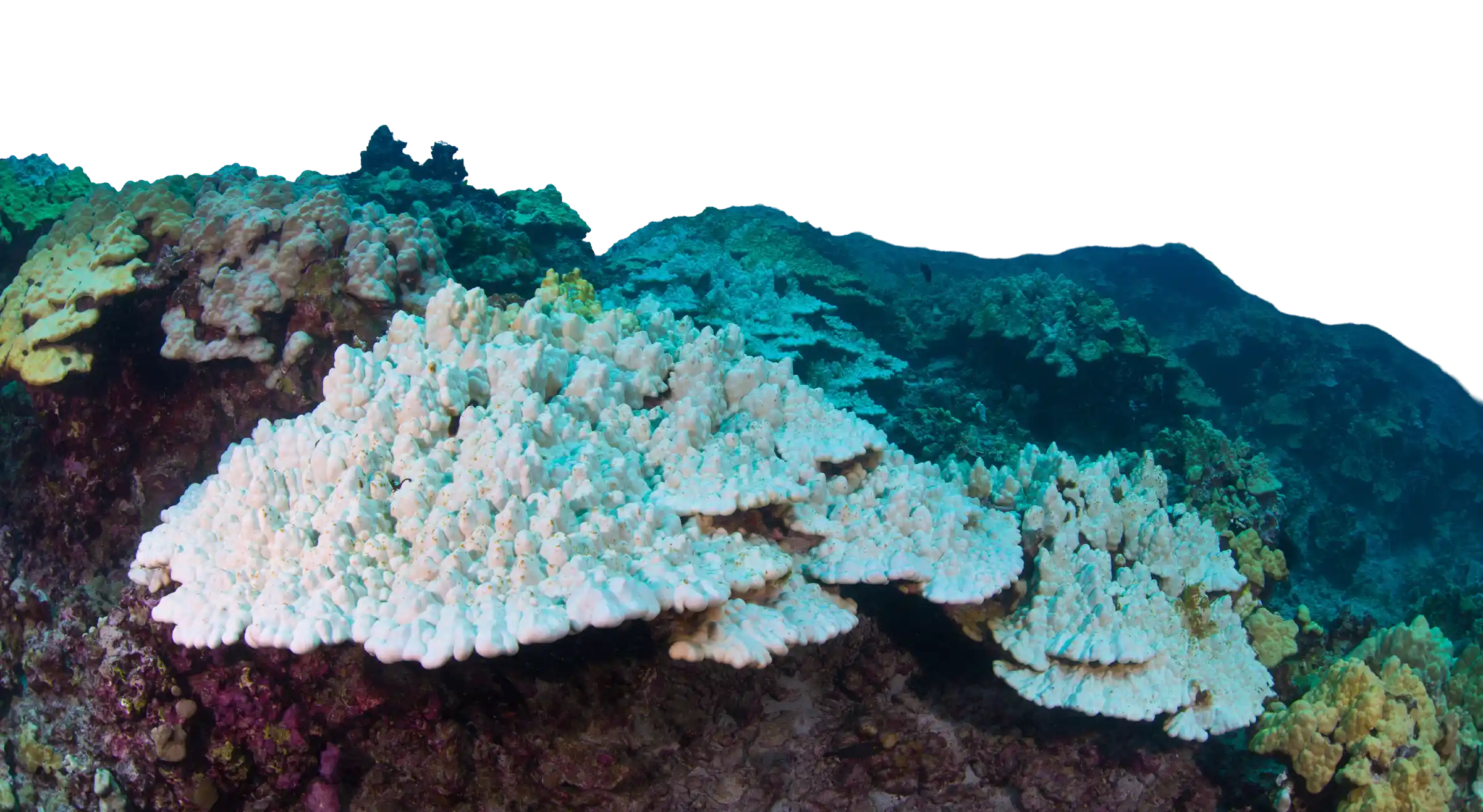
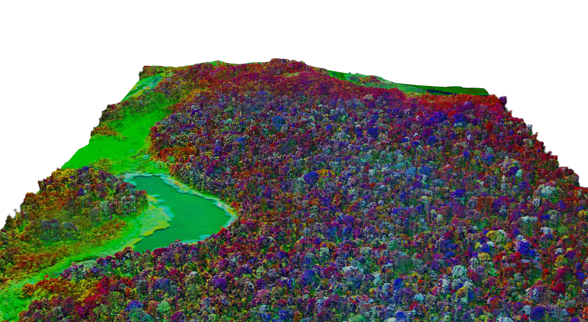
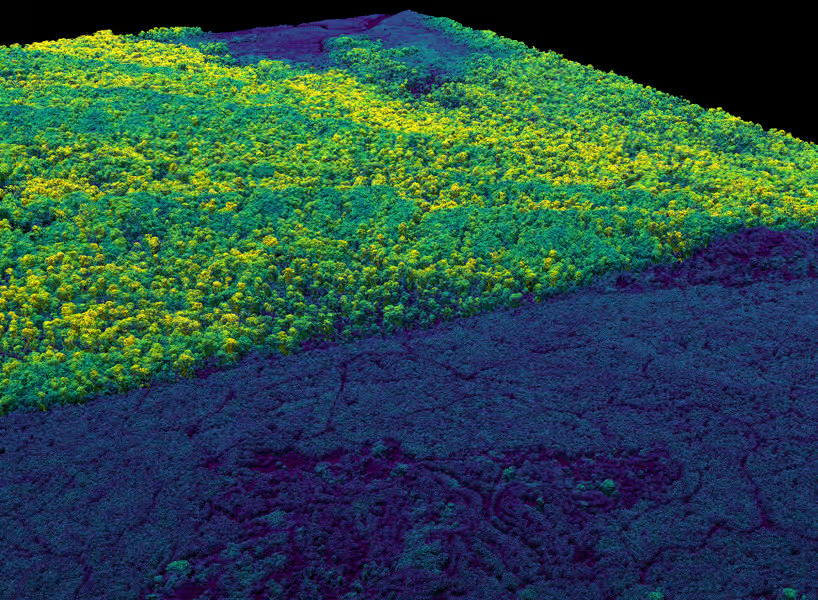
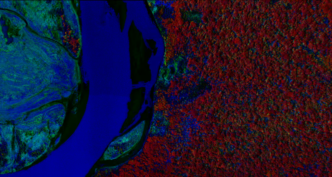
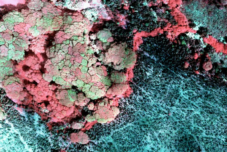
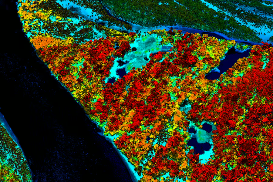
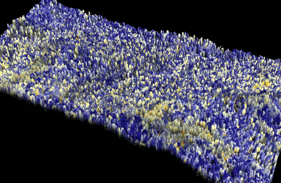
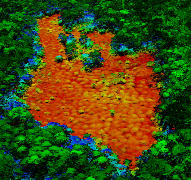
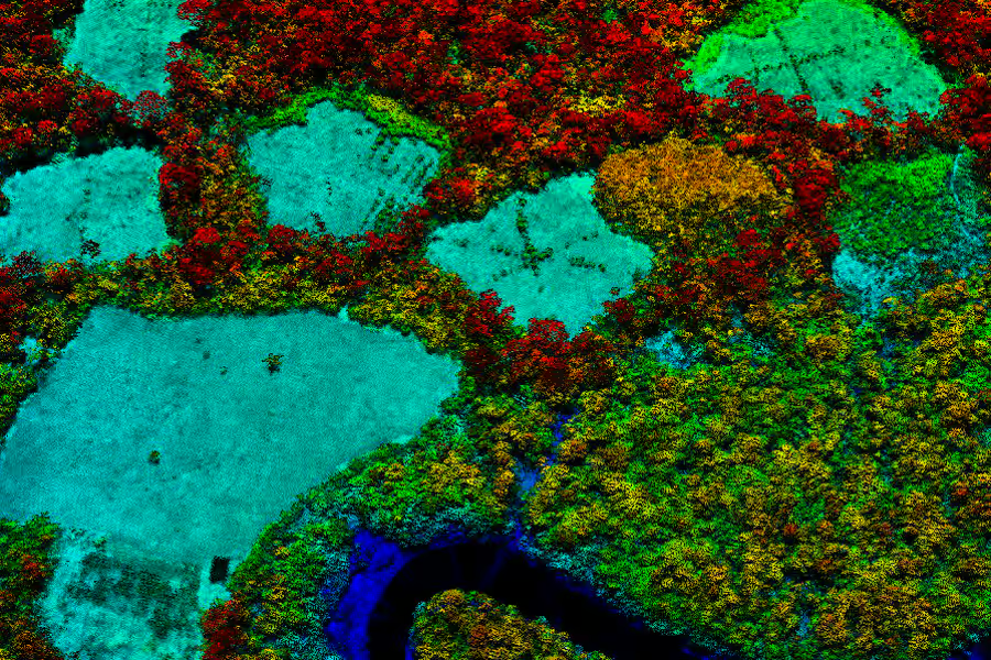
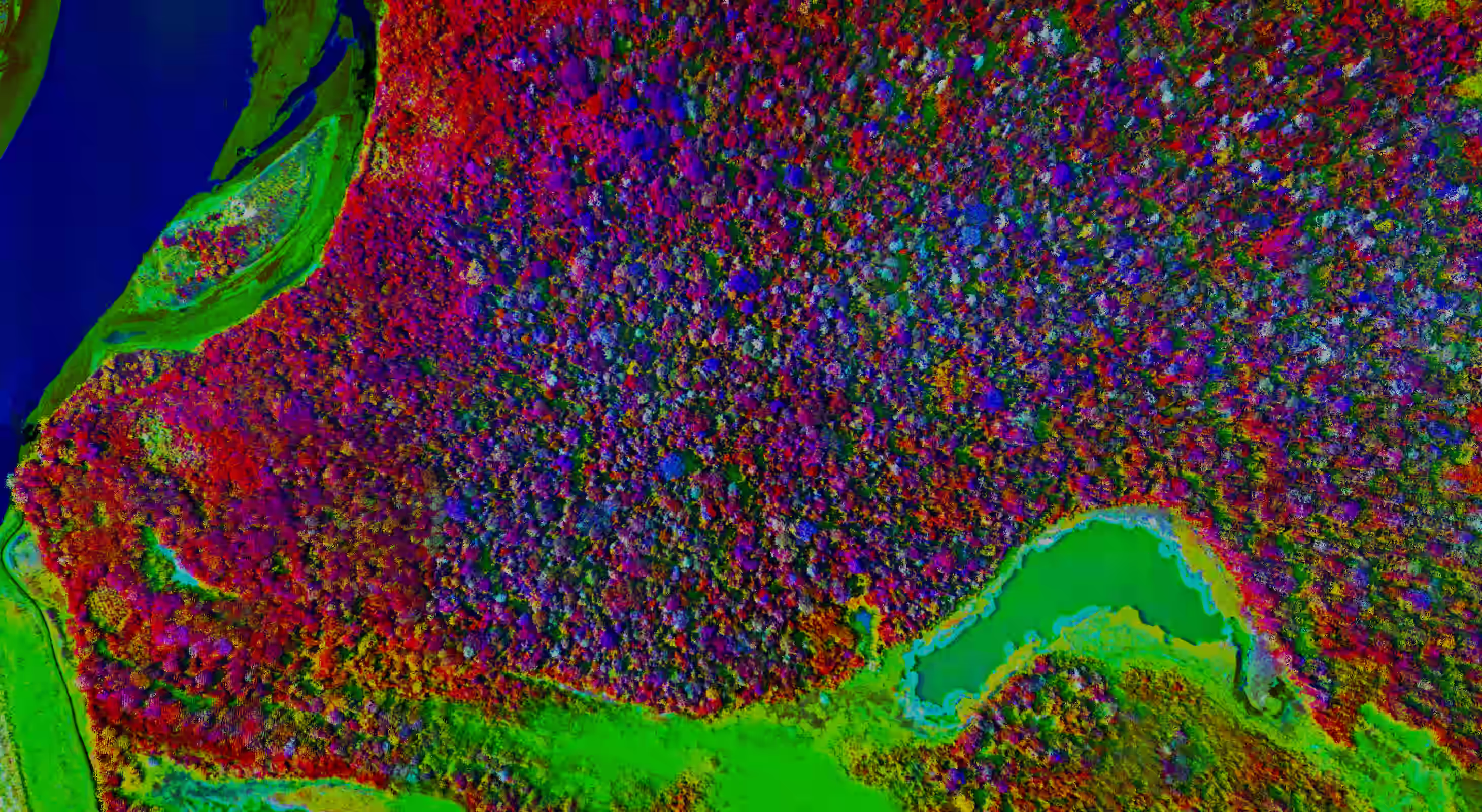
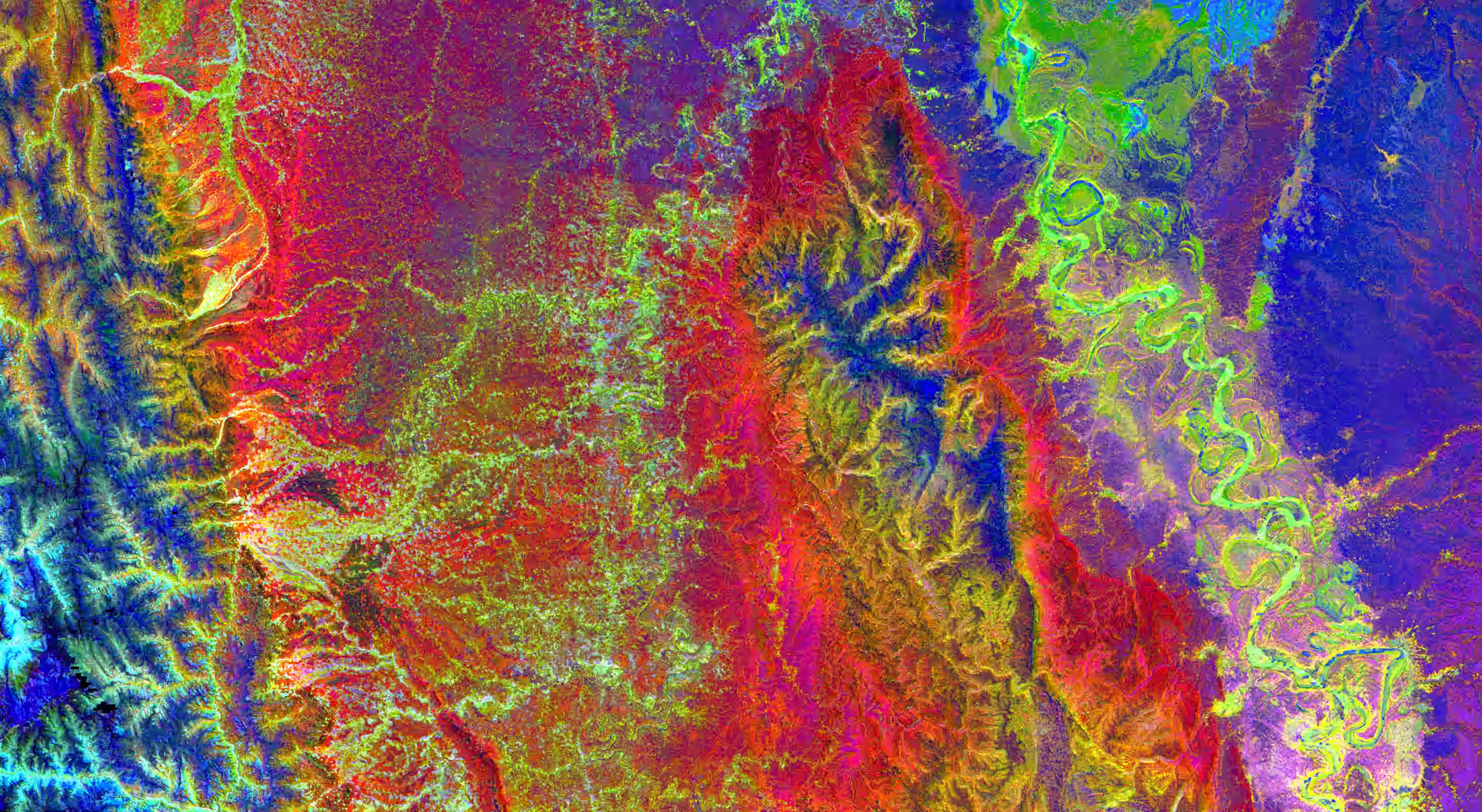
The Science of SpectrAnomics
We see the chemistry of life itself
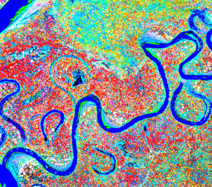
The chemicals in leaves and coral do four things: vibrate, bend, stretch, and rotate. These molecular harmonics create unique spectral signatures across the visible and invisible spectrum. Where satellites see green, we see species. Where others see reef, we see living corals.
Explore Spectranomics →
Explore
Go Deeper
Meet the people, the science, and the global reach behind two decades of airborne discovery.

People
The People of GAO
The scientists, engineers, and collaborators who built GAO from the ground up — and continue to push the boundaries of what airborne science can do.
ABOUT
The Observatory
The discoveries, the datasets, and the moments that changed how the world understands ecosystems from the air.
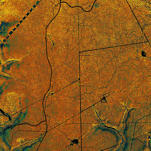
Mission map
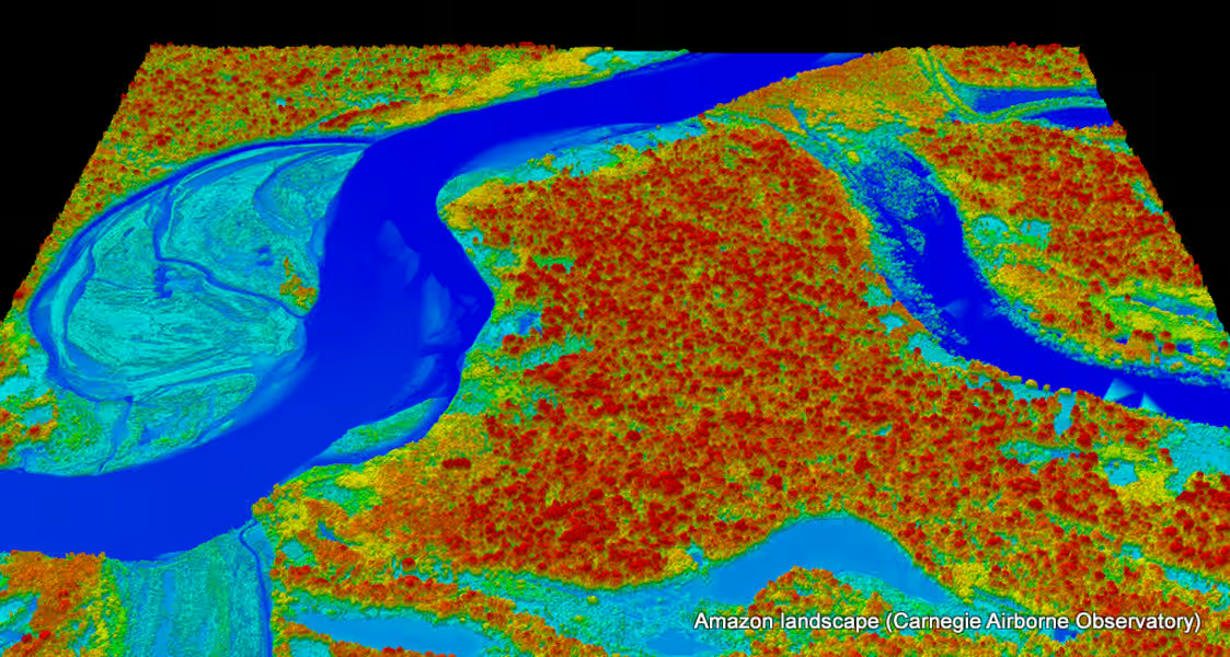
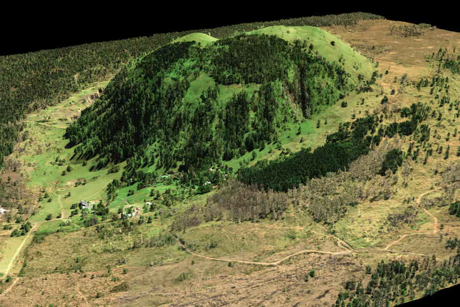
The Global Reach
From the Amazon to the Arctic, from Hawaiian reefs to African savannas — every place GAO has flown, mapped, and measured over two decades.